Document Actions
Load NetCDF layer
NetCDF driver selection
The way of adding a new NetCDF file do not differ from the addition of other GIS geofiles into gvSIG. Once the geographical view is created, click on the Add layer icon and the then on the Add button. Go just up to where the NetCDF file is on your computer (the file you are going to add must be a .nc format), and select the driver called NetCDF Raster File.
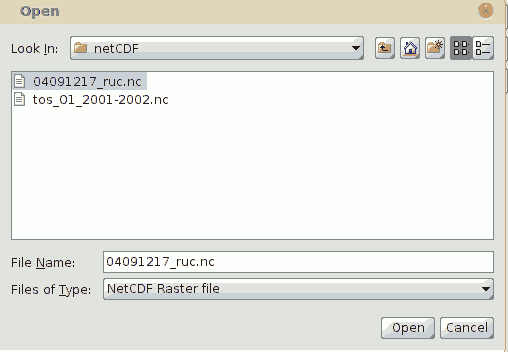
Add layer window with the NetCDF driver selected.
Once you accept the Add layer window the layer will be added to the TOC on the geographical view and its name will be the same as the file's name.
Visualization variable on the geographical view
As mentioned above, a NetCDF data file has multiple variables and attributes. These variables are all capable of being displayed on the geographical view. When gvSIG loads a NetCDF layer, it uses the variables called x and y for defining the extent of the geographical data. gvSIG displays the Grid Variable which is always the first variable in the list of variables available in the added layer.
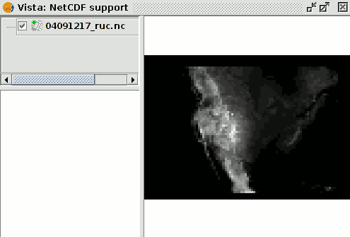
Visualization of a NetCDF layer once it is added to the geographical view.
After adding the layer, if you open the NetCDF Properties of the layer, and the variable displayed can be changed and thus get the geographical representation desired by the user.


