Skip to content. | Skip to navigation
Cached time 11/21/13 07:48:32
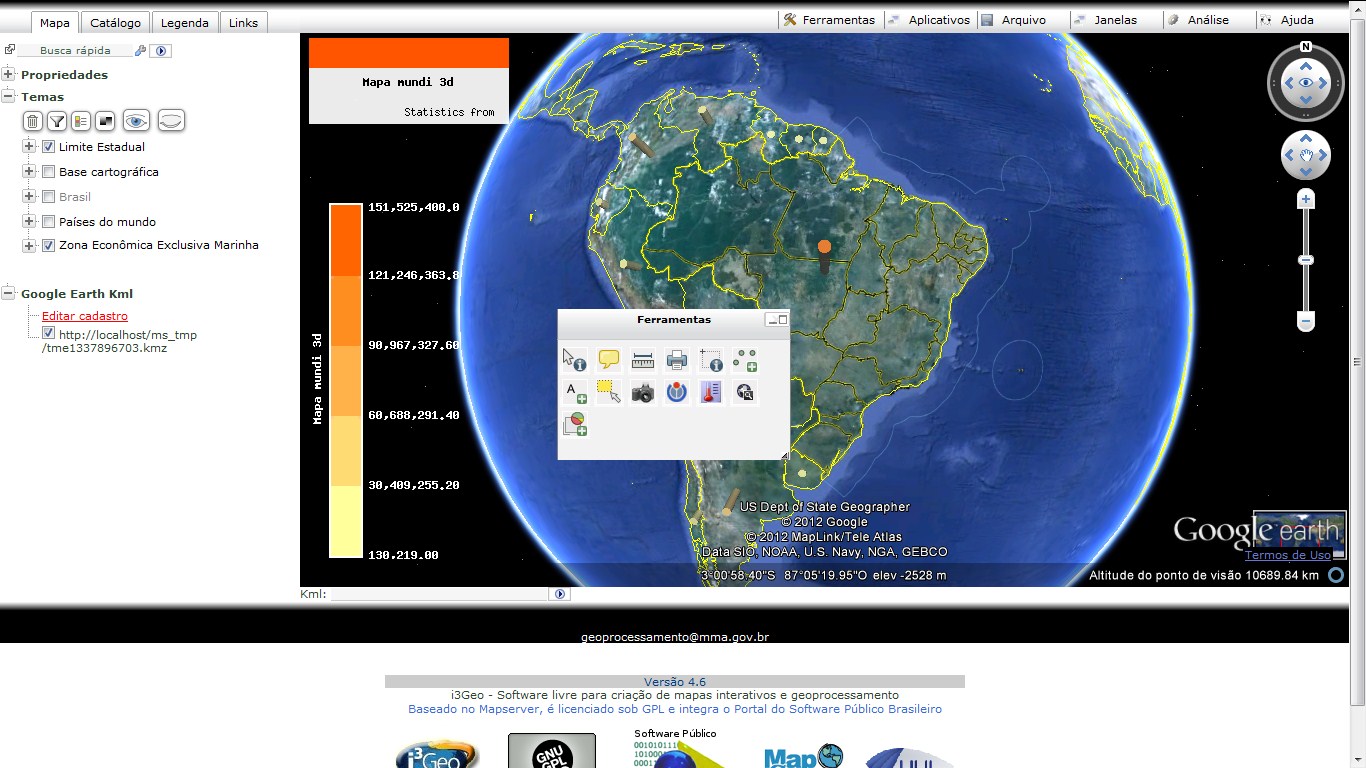
Integration with Google Earth:
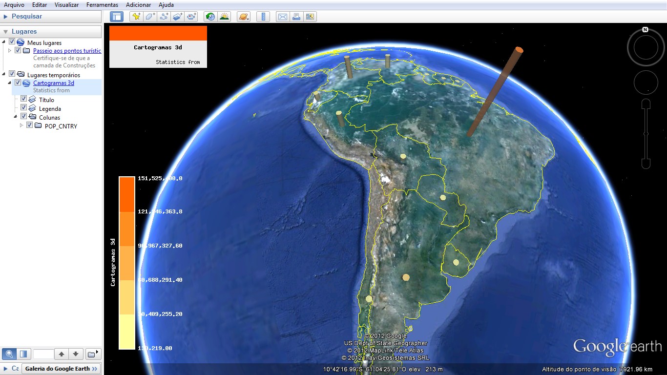
Statistics in 3D:
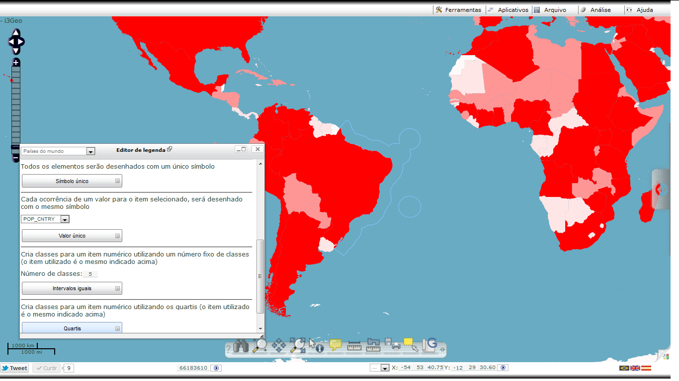
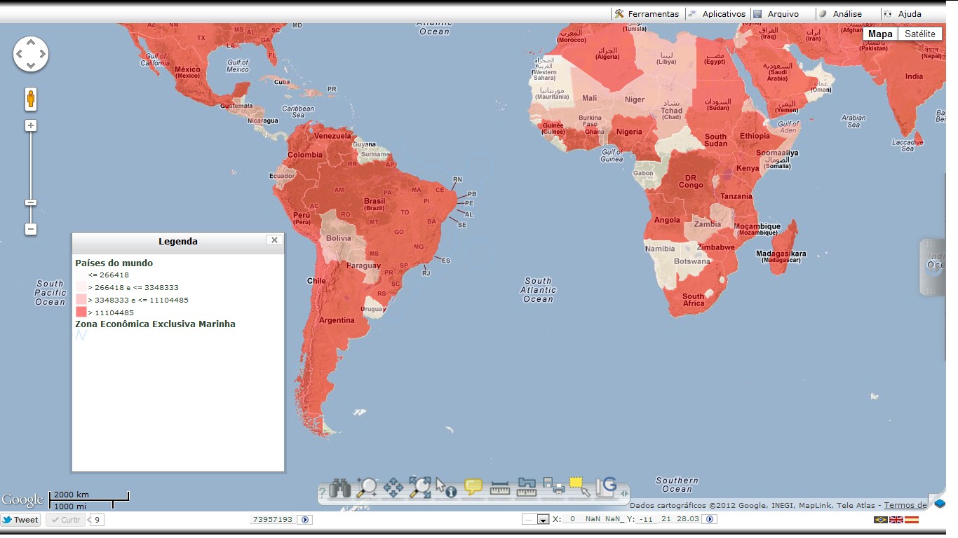
Interactive definition of classes and symbology:
Simple symbology:
Advanced symbology:
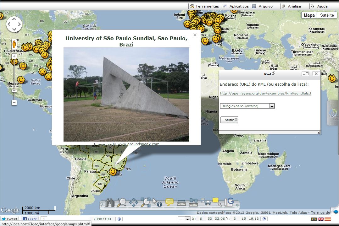
Integration with Google Maps:
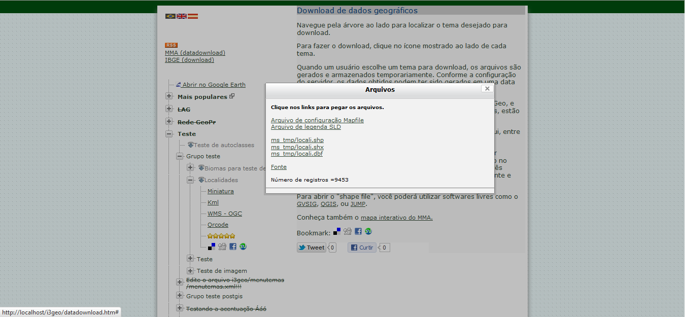
Download of files:
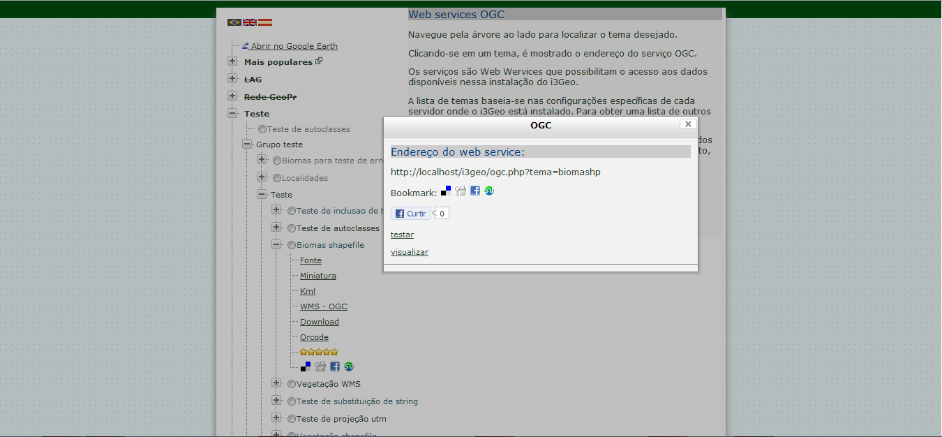
WMS Service:
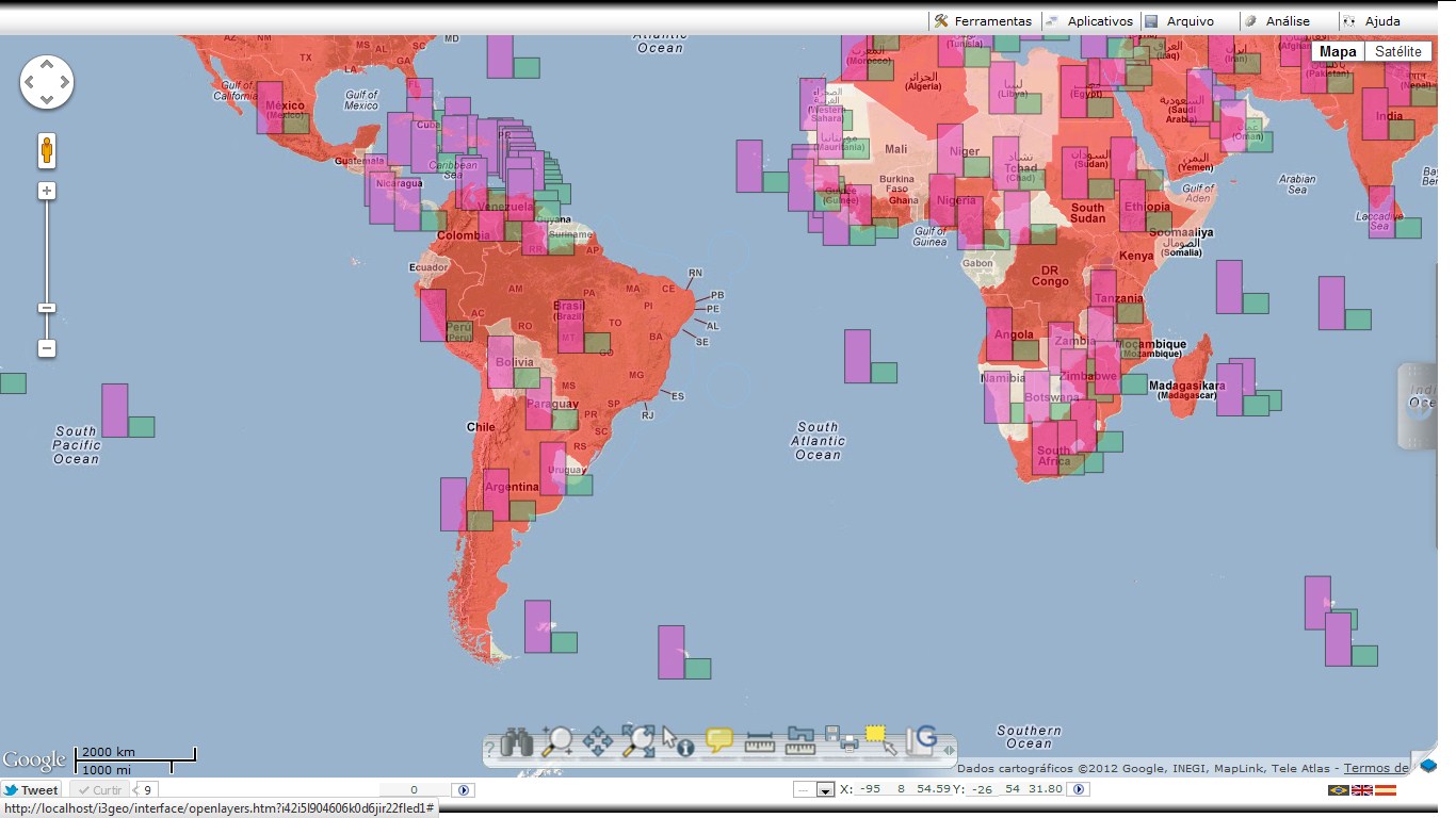
Integration with OpenLayers:
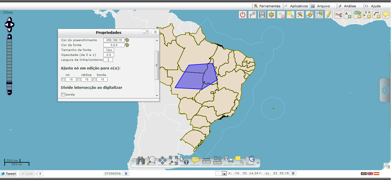
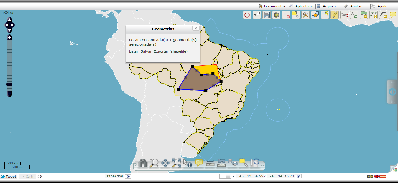
Vector editing:
Cached time 11/21/13 12:58:49
This site conforms to the following standards: