Manual de usuario gvSIG 1.9
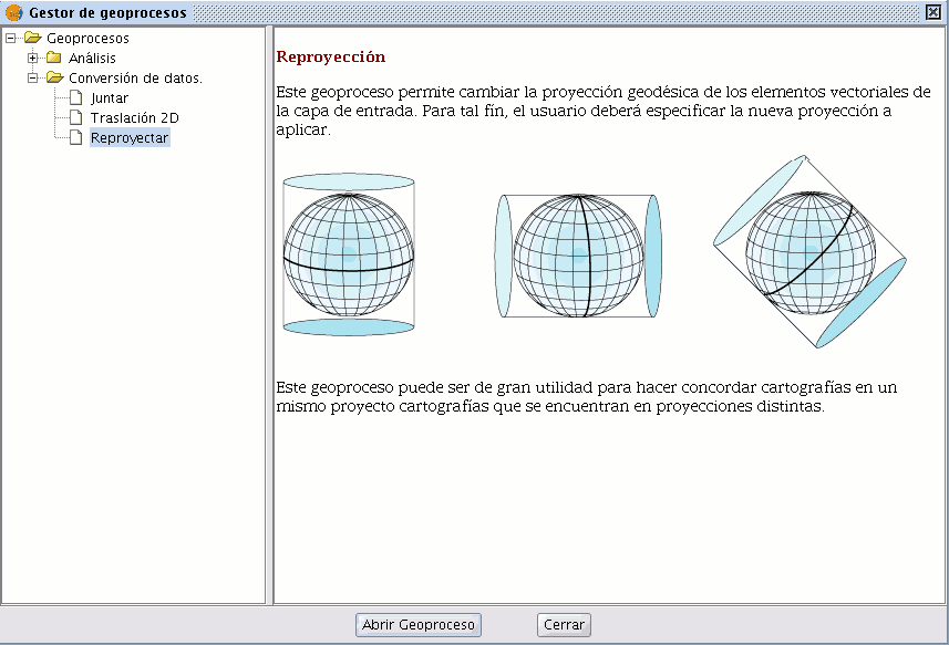
Click on the geoprocessing wizard in the tool bar and select the “Reproject” option from the “Data conversion” folder.

Click on “Open geoprocess”. The wizard will open to guide you through the reprojection process.
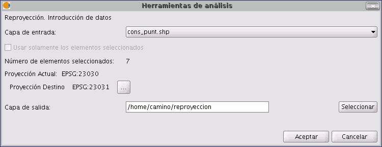
In “Input layer”, select the layer you wish to reproject from the layers loaded in the ToC.
To select the new projection for the layer, click on the button next to the destination projection and select the new reference system.


