


Document Actions
gvSIG-Desktop 1.11. User manual
gvSIG 1.11 User manual - Viewing and accessing data - Load data - Geographical data - Vector - Adding a layer using the WFS protocol - Filtered by area
In gvSIG 1.9 a new 'Area' tab was added which allows the user to filter the requested WFS layer geometries according to a bounding box. The user enters the coordinates of the required display area so as to optimize access to the data layers and to save time when viewing them.
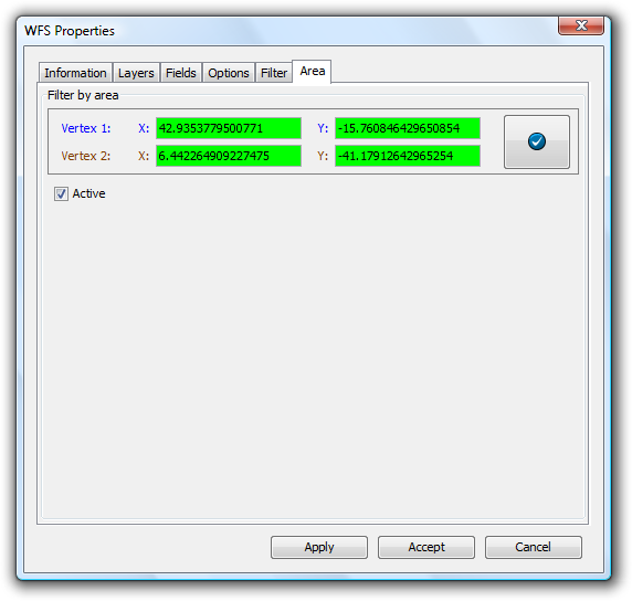
Loading a WFS layer - The Area tab
Cached time 11/21/13 06:52:56 


